In RoadWay User Tips with Todd, RoadBotics Product Manager Todd Saulle shows how to use specific tools within RoadWay, and how they could be useful to your public works department or engineering firm.
Today we’re going to look at the Distance and Area tools on RoadWay.
Both of these tools can be found by clicking on the Gear Icon in the bottom left-hand corner of the map.
Distance Tool
RoadBotics provides the lengths of each road segment — but what if you wanted to calculate the distance of an entire road, from beginning to end?
Within the Tools menu (found after clicking on the Gear Icon,) you’ll find the Distance Tool, marked by a Ruler Icon. When you select it, the map changes from the Dark Map to the Satellite View.
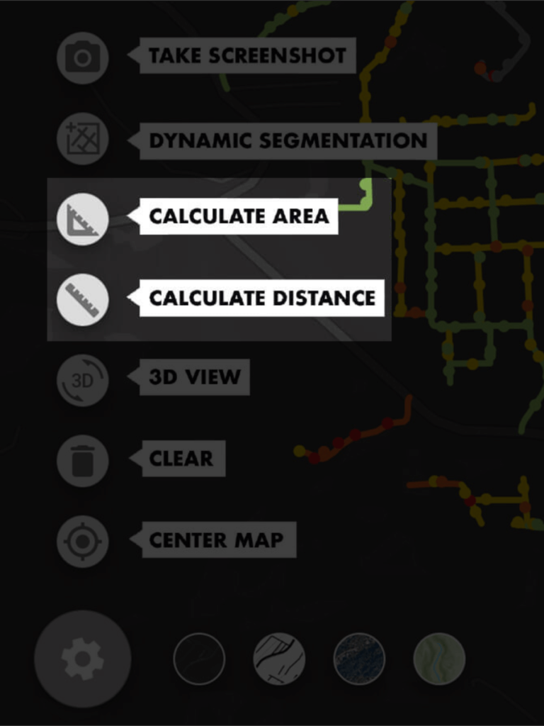
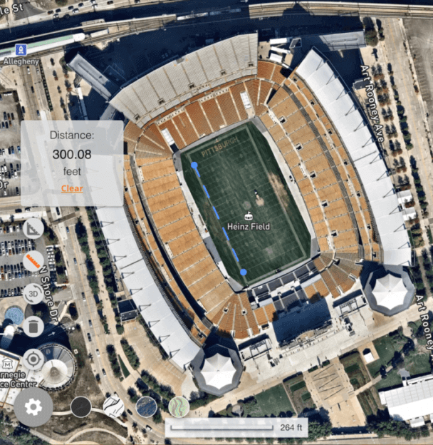
After selecting the Distance Tool, a box will appear showing the distance measured.
As you zero in on the object you would like to measure — a road that you’d like to repair, for example — you can measure the exact length.
To begin, click where you’d like the measurement to start. Click again where you’d like to stop. The measured distance will appear in the gray box to the left.
To clear this measurement or to begin a new one, click “Clear” in the gray box.
Area Tool
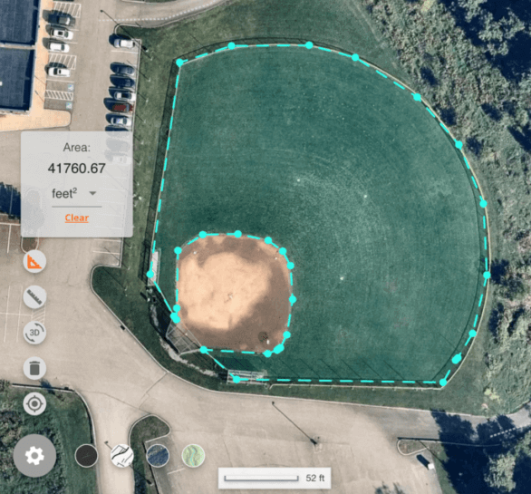
After identifying a problem area in your network, you can use the Area Tool to calculate the total square feet or square yards of an area.
Click once to begin the measurement, and then click along the curb line of the area you’d like to repair.
Upon clicking on the first point again and closing the shape, you’ll be given the final area measurement of that section of road.
Initially, the measurement will be in square feet — you can click the drop-down arrow to change this to square yards, square miles, or acres.
