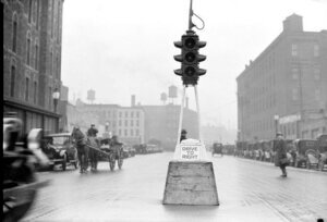
Right of way wasn’t always a thing! Traveling to your destination was a hodge-podge of people, horses, motor vehicles, and bikes. Thanks to the first electric traffic signal designs of James Hoge of Cleveland, Ohio, cities were able to navigate the chaos of growing populations while they developed a more robust traffic control system.
 <p class="alignnone size-medium wp-image-35449" style="padding-top: 10px
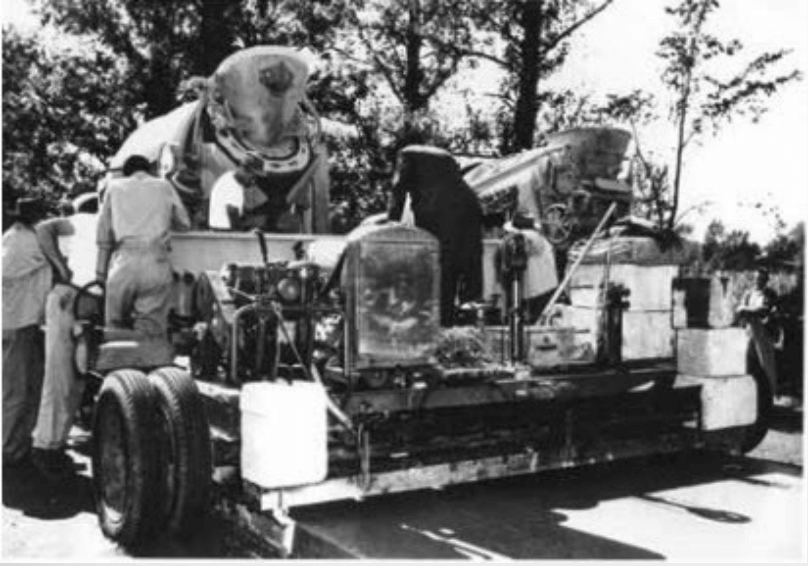
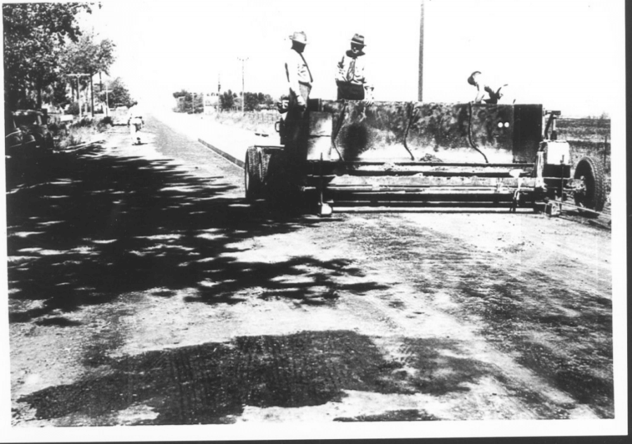
Highways and roads in Iowa were in desperate need of repair. In 1946, Iowa Highway Commission engineers conceptualized a mix with increased cement that could be vibrated into place by a machine and eliminate forms, which typically acted as a template for the road building process.
The first concrete pavement made using slipforms was built in O’Brian and Cerro Counties, Iowa. This technology continued to evolve and develop into more advanced machines. The use of slip forms had many advantages - namely, reducing construction times, labor, equipment, waste, and improving smoothness.
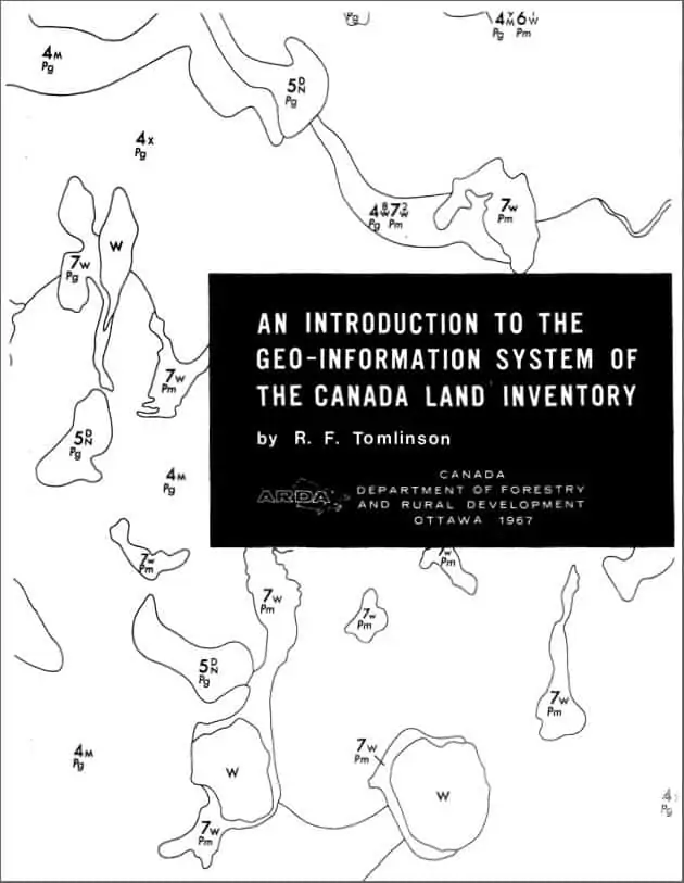
Geographical Information Systems are put to use everyday in public works. We owe their existence to Roger Tomlinson, who was the first person to implement digital mapping systems at a large scale.
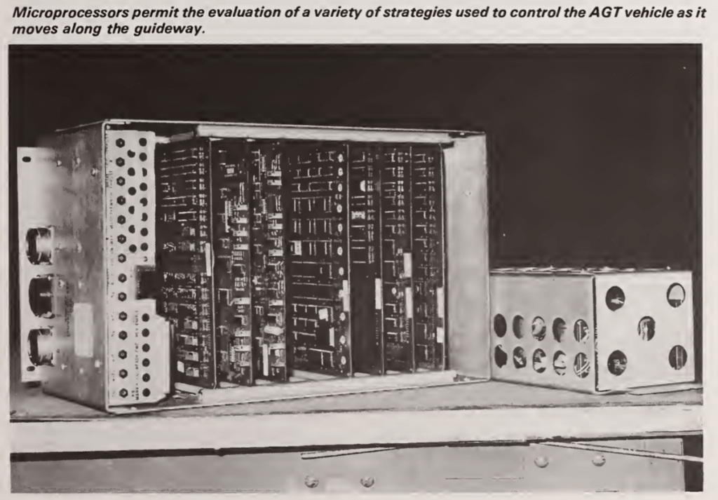
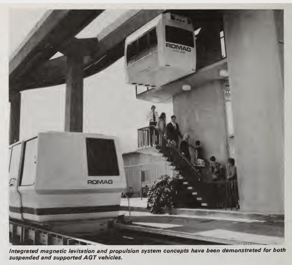
UMTA started to make massive strides in the 1980s with the development of Advanced Group Rapid Transit Systems (AGRT). Their R&D focus was on using testing sites, namely in Seattle and Denver, to figure out what methods and technology performed best. The major elements of the program included Automated Guideway Supporting Technology, New Systems Alternatives, Advanced Group Rapid Transit Systems (AGRT), and the Downtown People Mover (DPM).
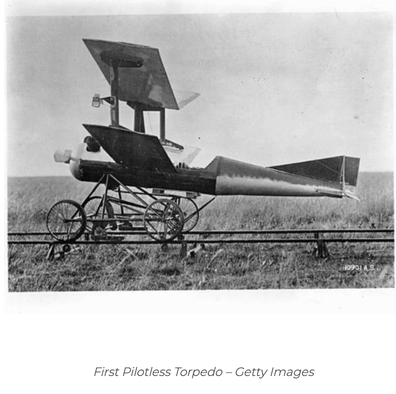
Drones have been used since the 1800s, but not in the way you’re thinking! Rather, balloons, torpedoes, and aerial targets were used as an innovation of war. Throughout WWI and WWII, advancing versions of unmanned torpedoes and planes were common. It wasn’t until the 1980s that the US Military started developing their drone technology more seriously.
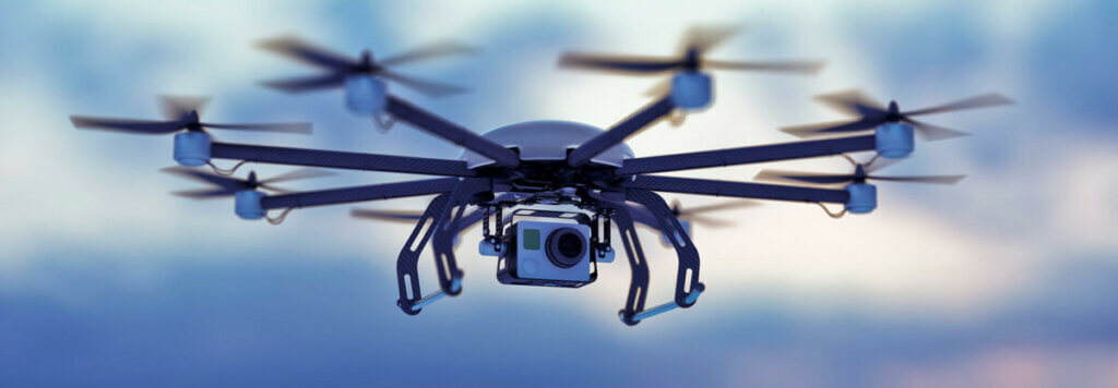
This technology was mainly used for military purposes until 2006, when government agencies found they could be used for disaster relief, pipeline inspections, border patrol, and pest control on farms. It took another 10 years for drones to “boom” within infrastructure adjacent industries like construction, engineering, and public works.
Ammonia Recovery Technologies were emerging in 2013, and the EPA cited: “This new process of recovering ammonia in wastewater treatment (ARP) uses significantly less gas volume and operates at a lower temperature, vacuum distillation systems have a much smaller footprint and power requirement than steam or hot air stripping. In addition, established methods of ammonia removal are significantly less when compared to the 90% that is removed/recovered with vacuum distillation.”
The use of computer vision to identify the location and condition of every road in a network reduces the amount of effort and time needed from public works to maintain local roads.
Geospatial data can be paired with artificial intelligence algorithms to automate road assessment processes and provide interactive resources for planning data-driven decisions, much like RoadWay.