Take a Test Drive
Before You Get Started
A Quick Introduction
Welcome to RoadWay!
When you begin to work with RoadBotics, you’ll collect images of your road network.
Next, we’ll carefully analyze those images using our proprietary machine learning process.
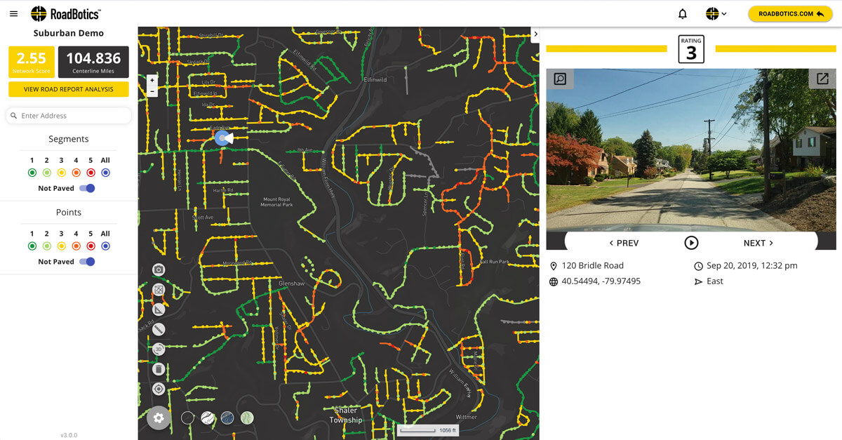
All of the images and data will appear on our user-friendly, color-coded, online platform, RoadWay.
Let’s take a quick walk through RoadWay and its most important features.
Best Condition
Good Condition
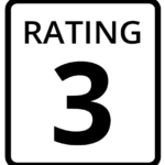
Average Condition
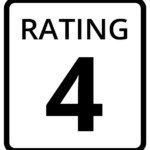
Declining Condition
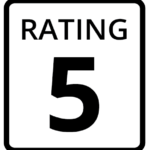
Worst Condition
Ratings
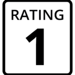
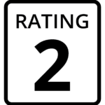
RoadWay uses a color-coded, numerical rating system to illustrate conditions along your road network.
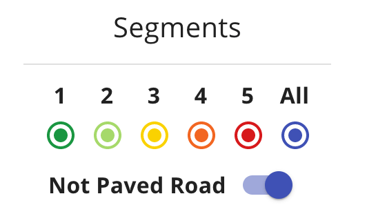
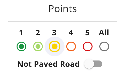
Dark green roads are rated 1 and represent those in the best condition.
Light green, yellow, and orange roads, rated 2, 3, and 4 respectively, represent declining conditions.
Red roads are rated 5 and represent those in the worst condition.
Segments and Points
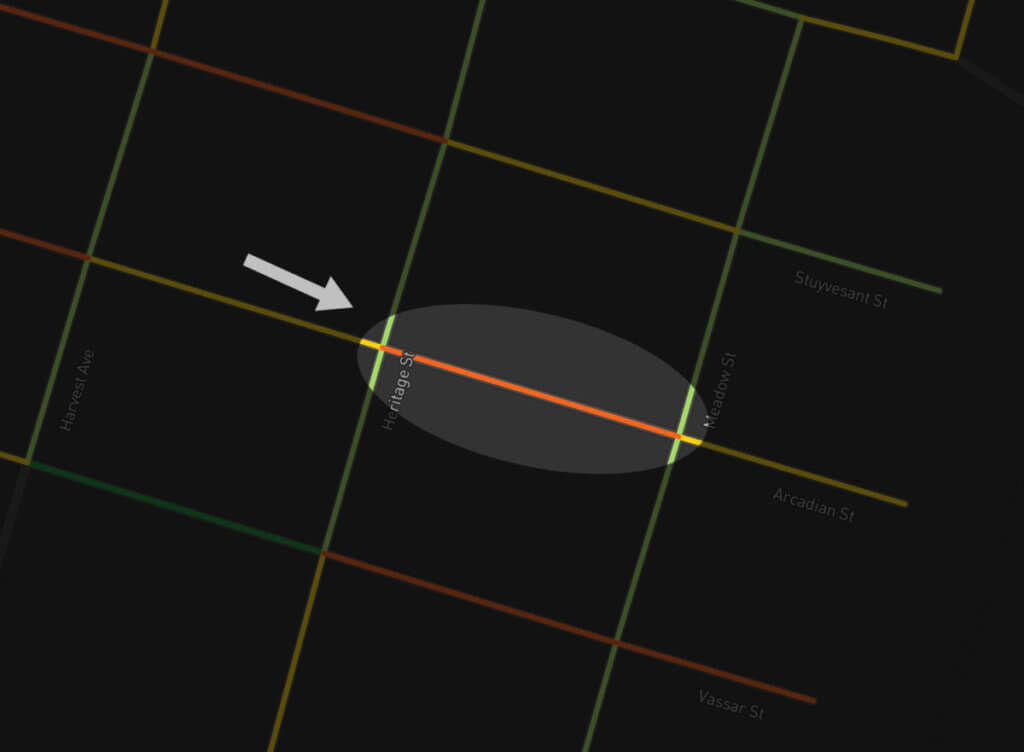
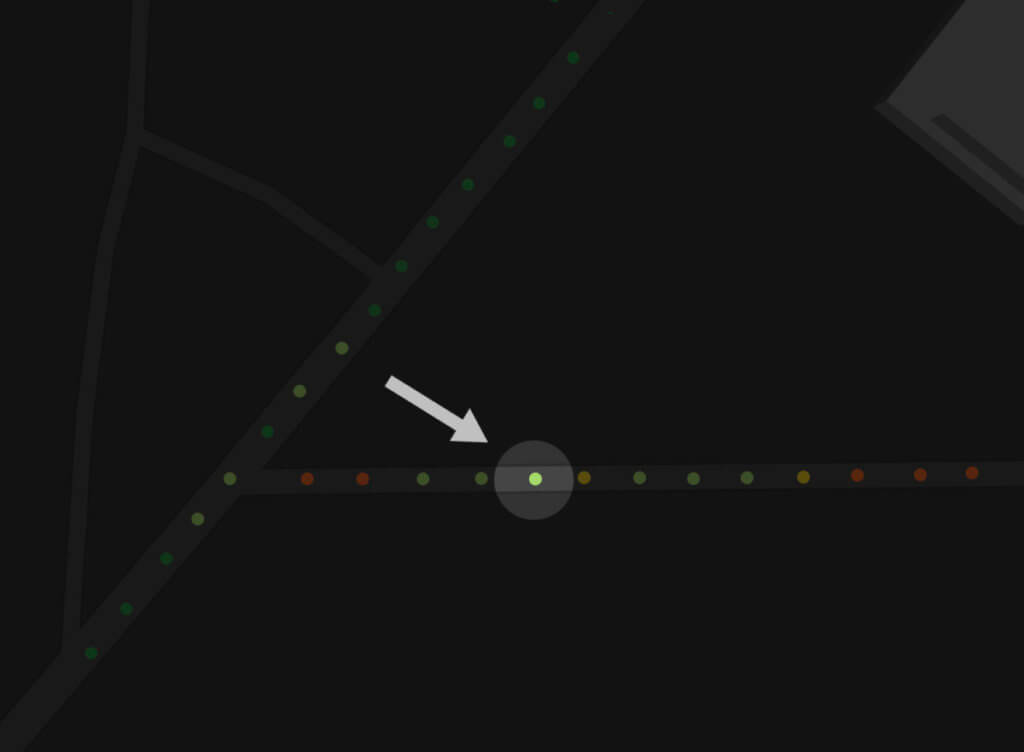
An entire segment has a rating that is the average of all the points within that segment. Each image can be viewed by clicking on a point. Every point has its own color-coded, numerical rating.
Choose to view all of the segments of your road network at once by selecting All, or select which individual ratings you’d like to see. For example, if you only wanted to view the worst rated segments on the map, you would select 4 and 5.
Points work in a similar way to segments. Choose to view all of the points at once by selecting All, or select which specific point ratings you’d like to see.
You can also view images of your unpaved roads, although they do not receive RoadWay ratings.
Network Score Analysis
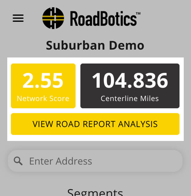
The Network Score Analysis displays the network’s score by reporting the overall average rating and the percentage of roads at individual ratings 1-5.
Click “Road Report Analysis” to see same level of detail by road classification- primary, secondary, or tertiary roads.
Searching
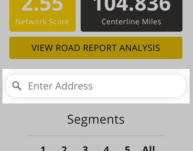
Are you looking for a specific street address? No problem!
Type it into the Enter Address Search Bar, and the location will appear centered on your RoadWay map.
Map Tools
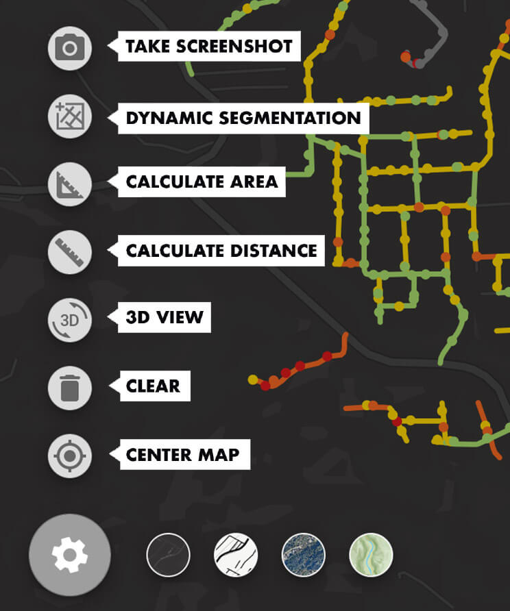
Click the Gear Icon to access RoadWay Tools.
These tools help you do even more with your assessment data and map, like snap a screenshot or take a measurement.
Your Account
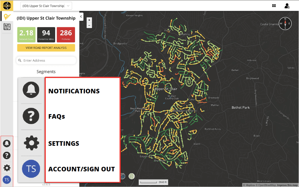
Along the bottom left-hand side of your screen, you’ll find icons to view Notifications, FAQs, Settings, and your Profile.
If the Notification icon is yellow, you have important updates or alerts from RoadBotics. Get your questions answered in the FAQs section, change up your unit measures and color preferences in Settings, or edit your name and password in your Profile.
Complete the form to get started with your test drive on RoadWay!
Access RoadWay Now!
Please fill out the form to access RoadWay immediately.


