RoadBotics’s online road assessment viewing platform, RoadWay, is used by 250+ communities around the world.
While RoadWay’s primary function is to display the results of your RoadBotics road assessment, our creative clients have come up with some unique ways they’re using RoadWay.
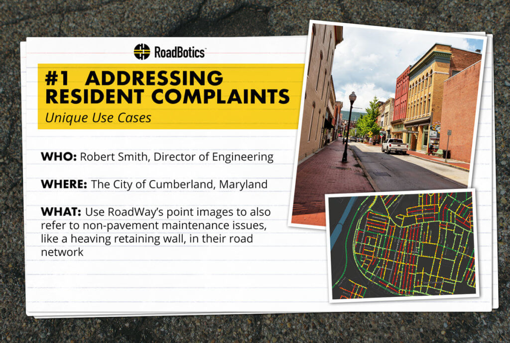
One of these unique use cases is addressing resident complaints.

Robert Smith, the Director of Engineering at the City of Cumberland, Maryland, told us about scenarios where they’ve used the visual data on RoadWay to assess a situation before responding to citizen complaints.
In one example, a heave in a retaining wall occurred on a smaller road in Cumberland. Robert was able to see exactly where the wall was located and closely examine issue within RoadWay.
This was two-fold: Not only was he able to determine if it was a critical issue before heading out into the field, but he was also able to determine if the issue was the city’s responsibility or the resident’s.
Watch the video to hear from Robert himself:
Have you used RoadWay’s point images to assess a potentially dangerous situation before going into the field? You can also use point images and corresponding street addresses to determine who’s responsibility an issue is to fix.
Is there a unique situation you’ve used RoadWay for in the past? If so, we’d love to hear about it — reach out to your contact at RoadBotics or email info@roadbotics.com.


