RoadBotics CEO and Co-Founder Ben Schmidt, PhD, will be releasing “Mission Control: The Roadmap To Long-Term, Data-Driven Public Infrastructure” on June 1, 2022. We’re taking a look at an excerpt from each chapter, and how RoadBotics is putting those solutions into practice.
If you missed it, Mission Control’s Chapter 8 excerpt explains using data-driven decision making to move the meter on your goals.
The True Promise of the M3 Roadmap
Currently, there are many ways to strategically assess road conditions, like Pavement Condition Index (PCI) or Pavement Surface Evaluation and Rating (PASER), but there are drawbacks to relying on these systems in the short and long-term.
First, much like the state of business prior to GAAP, there is no unified method of tracking road conditions or improvements over time across local governments. A lack of a single system to reference leads to them doing their best to keep roads functional, but often results in a focus on quick, short-term fixes, rather than a comprehensive long-term plan.
Second, while these methods provide a way to assess road conditions that is moderately standardized, it is still reliant on a manual assessment being conducted. Manual road assessments are often conducted by multiple people and can take months depending on the number of people on staff. This ends up generating data that is subjective and not all that useful by the time it’s used for planning.
Aware of these issues, RoadBotics has been working towards providing a “gold standard” of pavement maintenance to local governments so progress can be routinely tracked and shared at a local and national level.
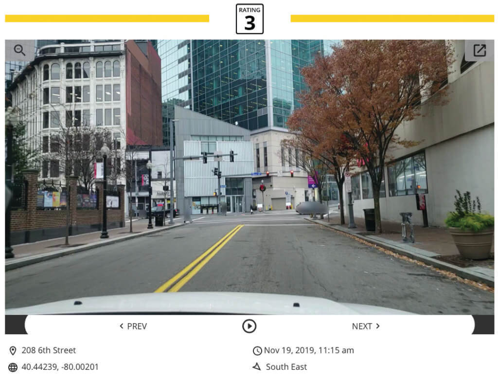
The amount of data needed by most local governments to make sound decisions is less than you’d think. RoadBotics strategically chooses to provide color-coded ratings on a scale of 1-5, with the best roads receiving a level 1 rating and the worst roads receiving a 5, so that local governments have enough information to make actionable maintenance recommendations without getting bogged down by minutia.
Since the ratings are generated by a proprietary machine learning algorithm that factors in the condition for each 10-foot section of road, the risk of subjectivity in the data is greatly reduced.
Best of all, using the embedded maps feature, local governments can share their interactive road condition map across their teams and with residents. This level of “shareability” increases trust and transparency in the community.
Click on a road segment to see its objective rating!
And that’s a wrap on our chapter excerpts from Mission Control: The Roadmap To Long-Term, Data-Driven Public Infrastructure. We hope you’ve appreciated this glimpse into a mission, milestone, and metric-driven strategy developed by RoadBotics CEO and Co-Founder, Ben Schmidt, PhD. The book will be available on June 1 on Amazon.
Be the First to Know
Are you eager to improve your ability to make data-driven decisions for your community? Submit the form below to be the first to know when the book goes on sale in June 1, 2022!


